Sausalito, California — City Information
Last verified September 2026
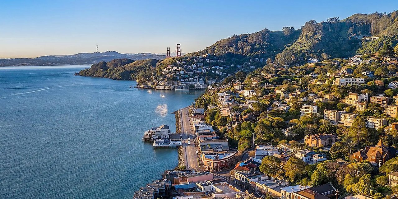
Sausalito is a small city in Marin County, California, on the north side of the Golden Gate Bridge along the western shore of Richardson Bay, an inlet of San Francisco Bay. It's genuinely small — 7,269 residents as of the 2020 census, a number that's barely moved since the 1980s — which is part of why it still feels like a town rather than a suburb, even sitting this close to San Francisco. Officially the city covers 2.2 square miles, but more than a fifth of that is water, not land — a reminder of how much of Sausalito is built right up against, and in places over, the bay itself.
Layout
The city is basically one long street, Bridgeway, running along the waterfront with downtown's shops and restaurants stacked between the road and the bay. Above Bridgeway, the town climbs steeply into wooded hillside neighborhoods with the views that make the real estate here some of the priciest in Marin — median household income was estimated at $173,030 in 2023, well above the county average. Marinship, on the northern end near the ferry landing, was built as a WWII shipyard and is now home to boat repair yards, artist studios, and the houseboat docks.
Weather
Sausalito sits just far enough inland, and in the lee of the hills, to dodge a lot of the fog that blankets San Francisco and the immediate coastline — locals sometimes call it a "banana belt" for exactly this reason. Summer afternoons here can be sunny and warm while the city across the bay is socked in gray, though fog does roll in some evenings. The temperature swing across the year is genuinely narrow: average highs run from the upper 50s in January to about 70°F in September, the warmest month, so pack a layer even for a summer visit. Rain is concentrated in winter — November through March account for nearly all of it, with June through August typically bone dry.
History in brief
Long before any of that, the site was a Coast Miwok village called Liwanelowa, home to a band known as the Huimen — like most of the Bay Area's indigenous population, they were largely gone within a few generations of European contact. The first European on record to see the area was a Spanish scouting party under José de Cañizares in 1775, though real development didn't start until 1838, when English-born mariner William Richardson secured a Mexican land grant here and named it Rancho Saucelito. (You'll sometimes read that the name honors a bandit hideout near Valparaíso, Chile — that story doesn't hold up; the Spanish name, meaning roughly "little willow grove," predates it by over a decade.)
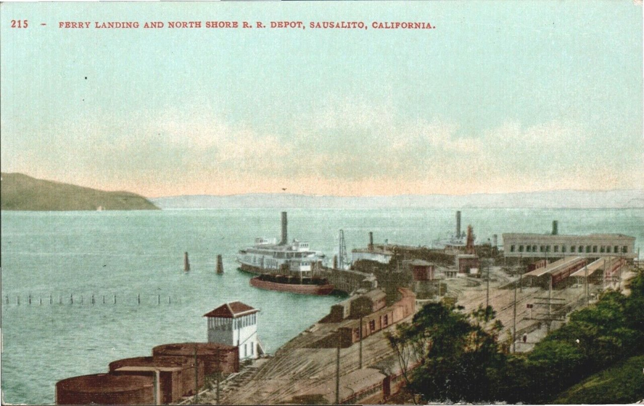
Incorporated in 1893, Sausalito grew as a ferry and rail terminus in the 19th century — the North Pacific Coast Railroad's tracks ended right at the waterfront, which is why downtown still feels built around the ferry landing rather than a town square. It became a shipbuilding center during World War II at the Marinship yard, and picked up its bohemian, art-colony reputation in the postwar decades — a character that still shows up in the galleries along Bridgeway and Caledonia Street today.
Where to next
Start with the ferry landing and the things-to-do guide, then pick a side: restaurants and hotels for the evening, shops and galleries for the afternoon, or kayaks, bikes and boat tours if you would rather be on the water. Planning how to arrive? Read getting here and parking first, and see the houseboat guide for the town's best-known neighborhood.